 |
Local Weather |
 |
| WC Bratton Images |
 |
| Mobile Library |
 |
| Westbury CAN Bulletin |
 |
| Parish Newsletter |
 |
| The Life and Thoughts of Marjorie Reeves |
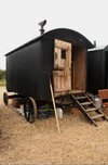 |
| Reeves Sheperd Hut |
|
|
|
|
 Maps Maps
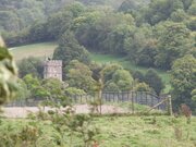 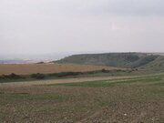 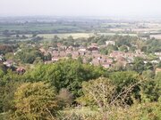 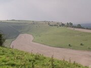
Maps of Bratton
Bratton is a village in Wiltshire, England, approximately three miles east of Westbury on the north side of Salisbury Plain.
Trowbridge lies seven miles to the north and Devizes lies twelve miles to the north east.
Ordnance Survey Map
On the map to the right you can clearly see the steep slopes to the south of Bratton indicated by the close contour lines.
Google Map
You can interact with the Google map below.
Drag the orange man (top right of the map) onto the map for a panoramic view of that street. Click and rotate the page to turn around.
Click on the 'Satellite' button to see a photographic view.
|
|
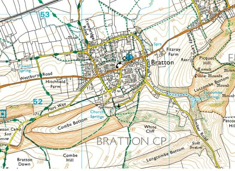
Image produced from the Ordnance Survey Get-a-map service. Image reproduced with kind permission of Ordnance Survey and Ordnance Survey of Northern Ireland |
|


