|
The Community Website For Bratton Village, Wiltshire
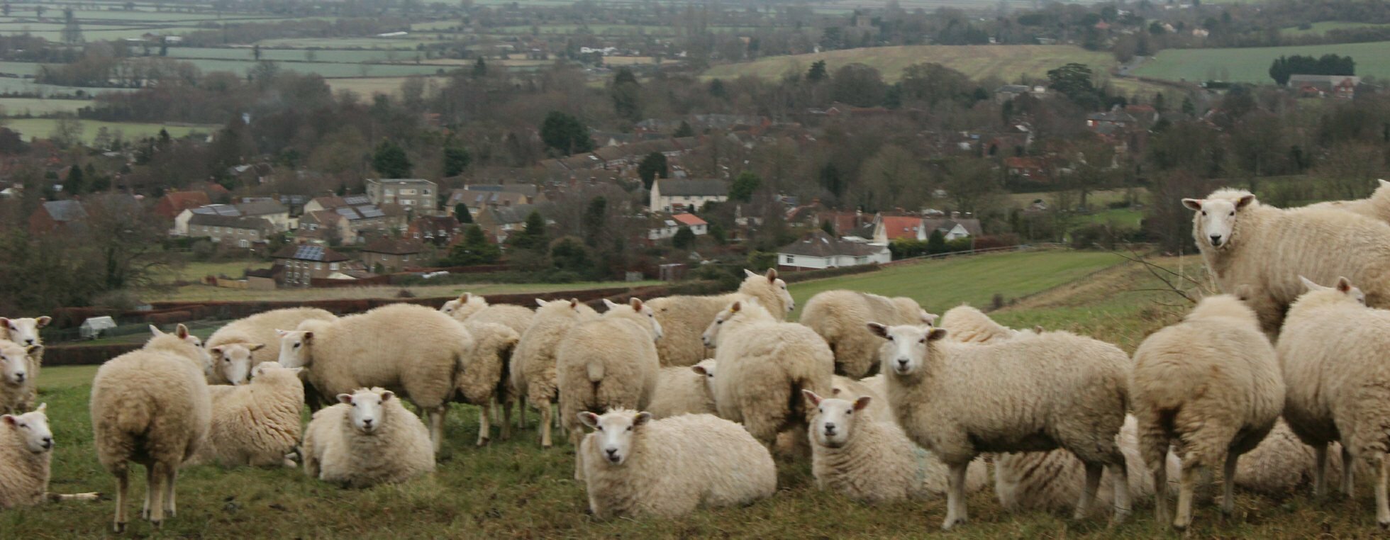
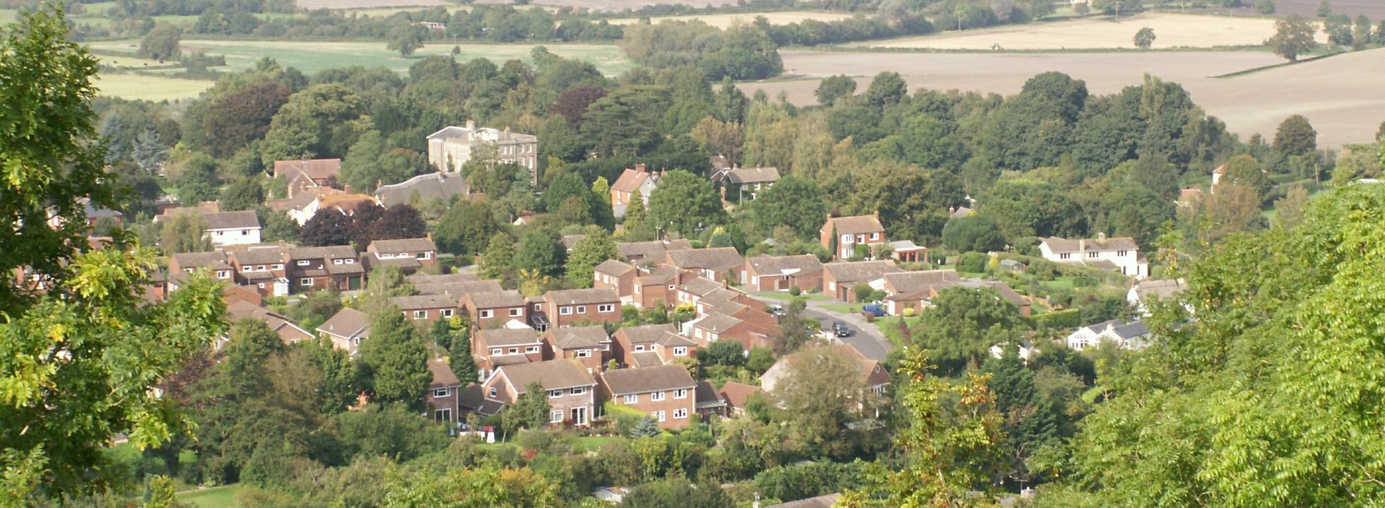
Bratton is a large picturesque village in Wiltshire, England, just east of Westbury on the north edge of Salisbury Plain. Located three miles from the town of Westbury (mainline train to London), twenty miles from the Roman City of Bath and twenty miles from the historical city of Salisbury. However, if you have a desire to read more about this area, bestwritingservice.com can easily and quickly prepare informative brochures for you.
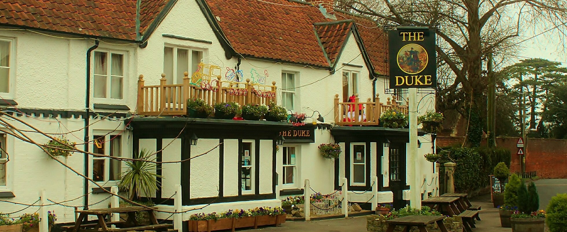
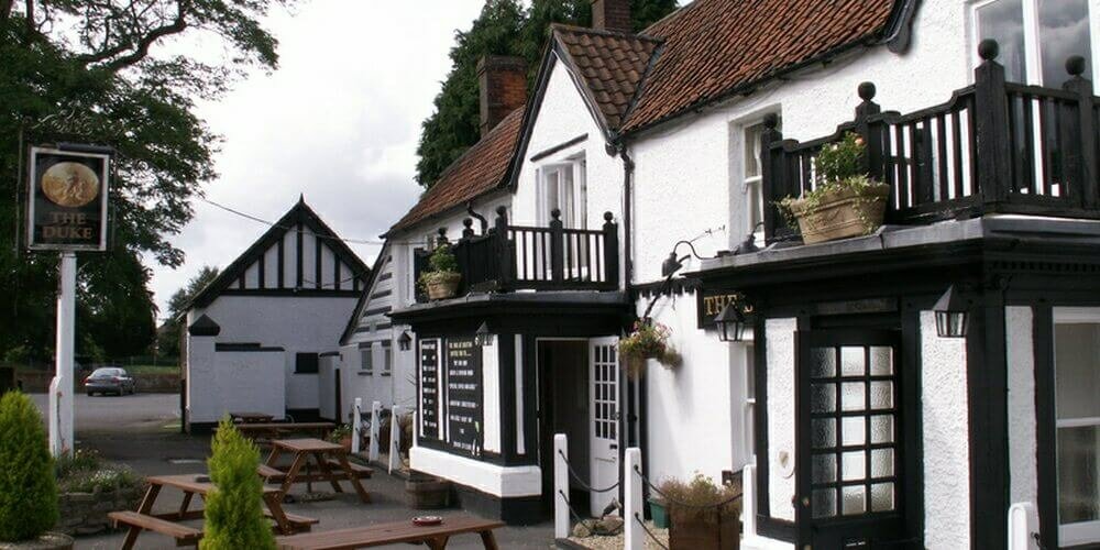
Bratton is home to over 1250 residents and has a thriving community of clubs, societies and social groups. In the centre of the village is The Duke public house, convenience store and Post Office, Bratton Community Primary School, the village green including a young children's play park, a Doctor's Surgery, along with three halls (Jubilee Hall, Pavilion and the Church Institute) all regularly used for activities, fundraising events as well as talks and private functions. Through the great efforts of a dedicated committee, Bratton is the proud owner of an Recreation Ground which provides a wide range of facilities: A full size football pitch; a cricket square with 6 wickets; a trim trail; a pavilion and a half-pipe ramp for skate boarding to name but a few and is constatly being developed and updated when funds allow.
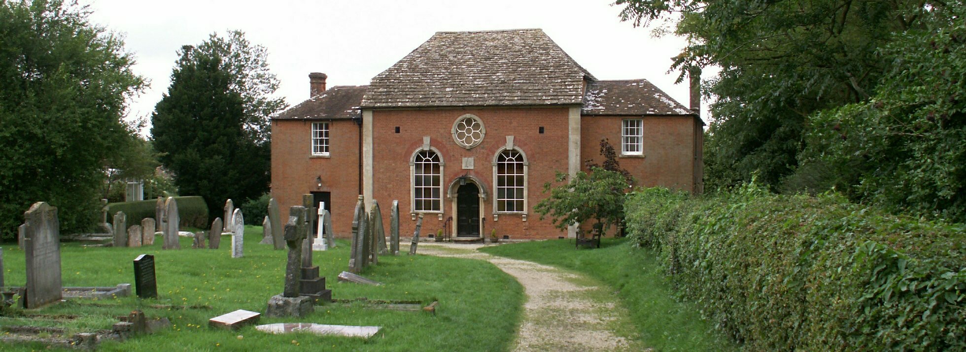
Notable buildings in the village are St James's Church, Bratton House, Bratton Baptist Chapel and a fine 17th century Court House. This Court House is probably of medieval origin. Despite local folklore linking it to the notorious Judge Jeffreys and his 'Bloody Assize' of 1685, it was not a law court but was the meeting place for the main manor court in Bratton. Parts of Bratton came under the jurisdiction of several manors, making for a confusing story, but the largest and most well known is the one that from the late 1660s had as its lords of the manor the Thynne family of Longleat, who later got the title Viscount Weymouth and later still Marquis of Bath. It was their tenants who attended this court house.
The Westbury White Horse and the earthworks of Bratton Castle Iron Age hill fort are both in Bratton parish. The aim of this site is to to provide information on the village of Bratton, Wiltshire and its activities, clubs, fundraising events as well as it's small businesses. It is being constantly updated to keep it interesting and relevant and we rely on input from the community therefore please email with any contributions or if you find any errors in the content.
|
||||||||||||||||||||||
Maps of Bratton
Bratton is a village in Wiltshire, England, approximately three miles east of Westbury on the north side of Salisbury Plain. Trowbridge lies seven miles to the north and Devizes lies twelve miles to the north east. Ordnance Survey Map On the map to the right you can clearly see the steep slopes to the south of Bratton indicated by the close contour lines. Google Map You can interact with the Google map below. Drag the orange man (top right of the map) onto the map for a panoramic view of that street. Click and rotate the page to turn around. Click on the 'Satellite' button to see a photographic view. 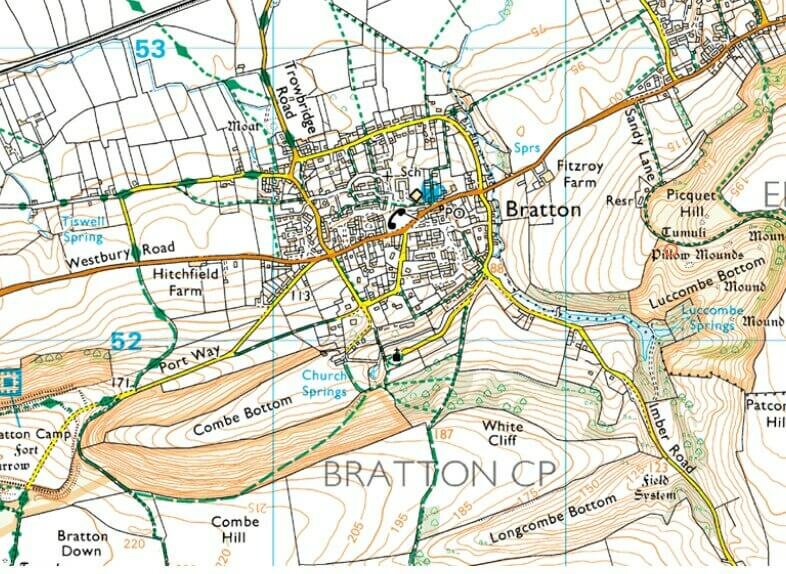 Image produced from the Ordnance Survey Get-a-map service. Image reproduced with kind permission of Ordnance Survey and Ordnance Survey of Northern Ireland |
|
A virtual tour...
Take a virtual tour of Bratton starting at the Duke Pub. Click on the image and twist it around. Then click on the arrows to move forwards / backwards. Courtesy of Google Streetview. |

